Check nearby libraries
Buy this book

This edition doesn't have a description yet. Can you add one?
Check nearby libraries
Buy this book

Previews available in: English
| Edition | Availability |
|---|---|
|
1
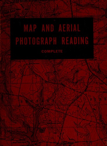
Map and aerial photograph reading, complete.
1951, Military Service Pub. Co.
in English
- 3d rev. ed.
|
aaaa
Libraries near you:
WorldCat
|
Book Details
Published in
Harrisburg, Pa
Edition Notes
2 maps, a protractor, and a photo coordinate card in envelope inserted.
Classifications
The Physical Object
ID Numbers
Community Reviews (0)
Feedback?| September 18, 2020 | Edited by MARC Bot | import existing book |
| July 22, 2019 | Edited by MARC Bot | remove fake subjects |
| July 22, 2017 | Edited by Mek | adding subject: In library |
| August 7, 2012 | Edited by ImportBot | import new book |
| May 11, 2010 | Created by WorkBot | new work for accessible book |


